
Dorian weakened on Tuesday but was heading north-westward and growing in size, moving “dangerously close” to the Florida east coast late Tuesday through Wednesday evening, the US National Hurricane Center (NHC) said.
Dorian, now a Category 2 storm on the five-step Saffir-Simpson Wind Scale, is located about 170 kilometers east of Fort Pierce, Florida, with maximum sustained winds of 175 km per hour.
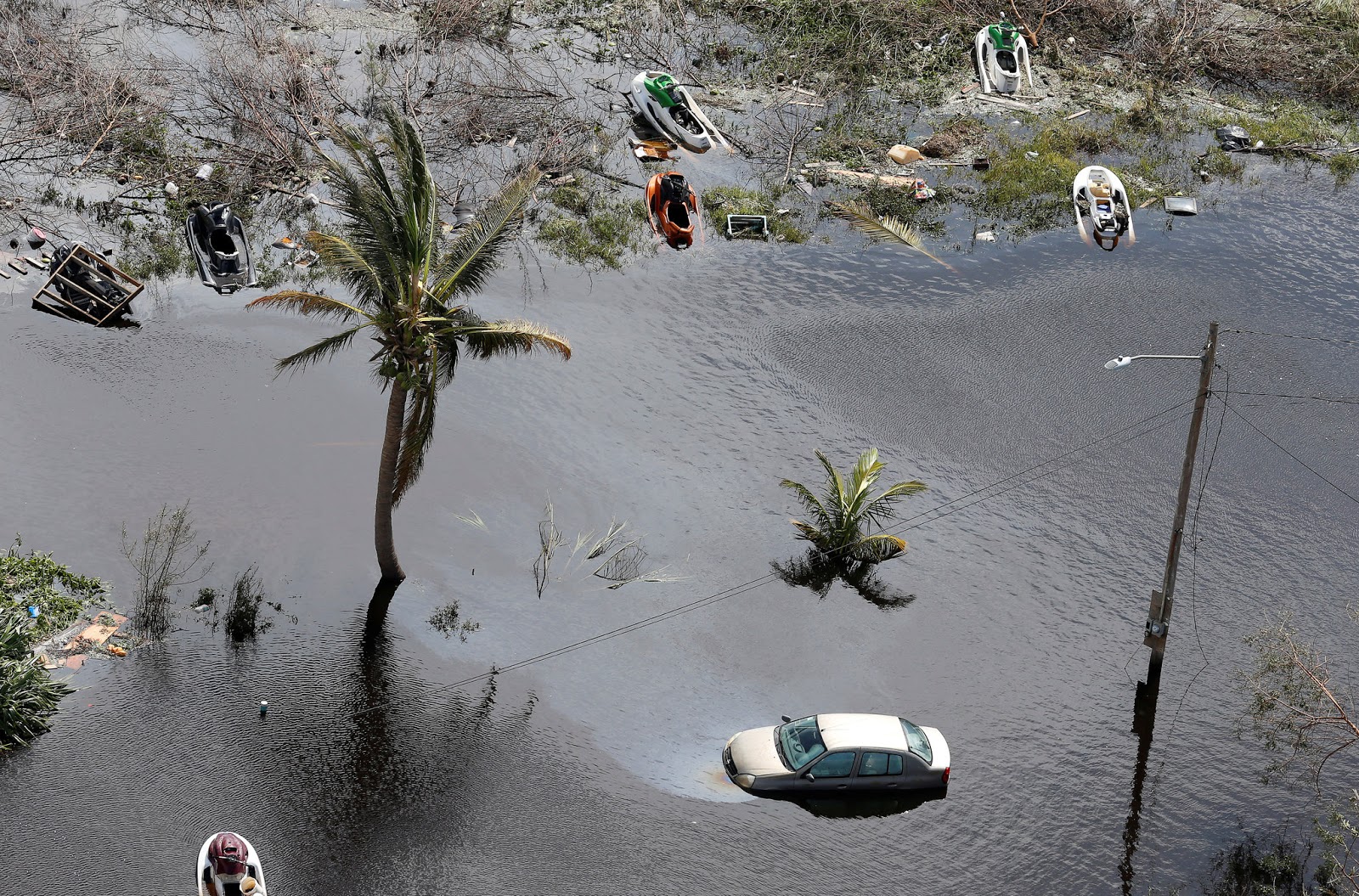
The second-strongest Atlantic storm pounded the Bahamas islands, killing at least seven people and causing widespread flooding.
Live: the route the hurricane is following as it approaches the coast of Florida
Hurricane Dorian facts
- Hurricane Dorian, a Category 2 storm, is beginning to lash the Florida coast with winds and heavy rain.
- The hurricane pummeled the Bahamas for 48 hours. Thousands of homes are believed to be damaged or destroyed and 62,000 people don’t have drinking water.
- Seven people have been killed on the Bahamas’ Abaco Islands and officials expect the the death toll to rise.
- There were 7,100 customers without power in Florida as of early Wednesday, according to the Florida Division of Emergency Management.