
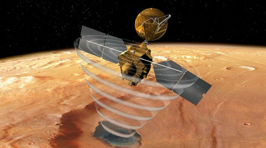
Mars once rippled with rivers and ponds billions of years ago, providing a potential habitat for microbial life. As the planet’s atmosphere thinned over time, that water evaporated, leaving the frozen desert world that NASA’s Mars Reconnaissance Orbiter (MRO) studies today.
It’s commonly believed that Mars’ water evaporated about 3 billion years ago. But two scientists studying data that MRO has accumulated at Mars over the last 15 years have found evidence that reduces that timeline significantly: Their research reveals signs of liquid water on the Red Planet as recently as 2 billion to 2.5 billion years ago, meaning water flowed there about a billion years longer than previous estimates.
“Our findings center on the chloride salt deposits left behind as icy meltwater flowing across the landscape evaporated,” said Caltech’s Professor Bethany Ehlmann and Dr. Ellen Leask from Johns Hopkins University Applied Physics Laboratory.
“While the shape of certain valley networks hinted that water may have flowed on Mars that recently, the salt deposits provide the first mineral evidence confirming the presence of liquid water.”
“The discovery raises new questions about how long microbial life could have survived on Mars, if it ever formed at all. On Earth, at least, where there is water, there is life.”
In the research, the authors used the MRO/CRISM data to map the chloride salts across the clay-rich highlands of Mars’ southern hemisphere — terrain pockmarked by impact craters.
These craters were one key to dating the salts: the fewer craters a terrain has, the younger it is.
By counting the number of craters on an area of the surface, scientists can estimate its age.
To create digital elevation maps, the researchers used images captured by two MRO cameras: the Context Camera and the High-Resolution Imaging Science Experiment (HiRISE).
They found that many of the salts were in depressions — once home to shallow ponds — on gently sloping volcanic plains.
They also found winding, dry channels nearby — former streams that once fed surface runoff (from the occasional melting of ice or permafrost) into these ponds.
Crater counting and evidence of salts on top of volcanic terrain allowed them to date the deposits.
“What is amazing is that after more than a decade of providing high-resolution image, stereo, and infrared data, MRO has driven new discoveries about the nature and timing of these river-connected ancient salt ponds,” Professor Ehlmann said.
“Part of the value of MRO is that our view of the planet keeps getting more detailed over time,” added MRO deputy project scientist Dr. Leslie Tamppari, a researcher at NASA’s Jet Propulsion Laboratory.
“The more of the planet we map with our instruments, the better we can understand its history.”
Sources:
https://agupubs.onlinelibrary.wiley.com/doi/full/10.1029/2021AV000534